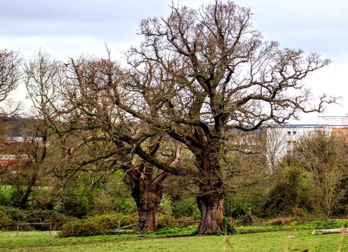
Parks, playing fields, village greens and community orchards are vital for our wellbeing — places where children play, neighbours meet, and nature finds a foothold in our towns and cities. Yet our research suggests that many local councils are failing to use the powers available to them to protect these spaces, leaving them vulnerable to development and neglect.
How we did our research
Using Freedom of Information laws, we contacted 62 Local Planning Authorities (LPAs) across England, asking whether their current local plan includes policies protecting Local Green Space (LGS) sites, as set out in the National Planning Policy Framework (NPPF). We also asked them whether any new local plan would do so.
The LGS designation was introduced in the NPPF in 2012 to give communities the power to protect the green areas that matter most to them. It remains part of national planning policy, and councils are expected to consider it when drawing up local plans.
Of the 62 requests sent, 55 councils have responded (88%). Eight told us they don’t hold this information. That left 47 substantive responses from councils with real power over local green space protection. Eight councils have yet to respond. The full collated responses are available online.
What we found: current local plans
Of the 47 councils that gave a substantive answer, 17 — 36% — confirmed that their current local plan includes LGS policies in line with the NPPF. Twenty-three said their current plan does not, mainly because it predates the NPPF (2012). Bromsgrove, Redditch and Stoke-on-Trent all have plans dating back to 2009/2011 and so that lack LGS provisions, though Stoke’s does contain general green space protections.
A further six councils gave qualified answers. South Hams, Stoke-on-Trent, Torbay and West Devon noted that designation of specific LGS sites has largely been left to Neighbourhood Plans. Solihull had adopted both an LGS policy and seven Neighbourhood Plans had also adopted their own LGS policies. This is a permitted approach, but one that places the burden on local communities rather than the council.
What we found: future local plans
The picture for future plans is only marginally better. Of the 47 substantive respondents, only 12 — 28% — gave an unqualified yes to designating LGS in their new or emerging local plan: Cheltenham, East Devon, Tewkesbury, Cannock Chase, Cotswold, Gloucester City, Bath and North East Somerset, Cornwall, North Somerset, Stratford-on-Avon, Swindon and Wyre Forest. Cotswold confirmed its 2025–43 plan will contain new LGS sites; Bath and North East Somerset (BaNES) proposes retaining and expanding its LGS policy, subject to Cabinet approval, and Stoke-on-Trent’s emerging plan contains LGS designations, a positive step for a city whose current plan predates the 2012 NPPF.
A further nine councils said they do not intend to designate LGS at all. Birmingham will continue using strategic, criteria-based policies rather than site-specific designations. Tamworth explicitly ruled out using LGS designations, citing limited space and preferring broader open space policies. Rugby says its emerging plan ‘defers to national planning policy’, and South Gloucestershire, despite having LGS policies in its current plan, will drop them from its new one. Broader open space policies offer some protection, but not the strong protection that LGS provides.
The largest group — 23 councils — said it was too early to tell or that no decision had been made, reflecting how slowly local plan preparation moves. Bournemouth, Christchurch and Poole, for instance, won’t be scoping consultation until June 2026.
Solihull is currently working on a new Local Plan, and will be reviewing the status of Local Green Space sites and whether there will be any amendments or additions to these.
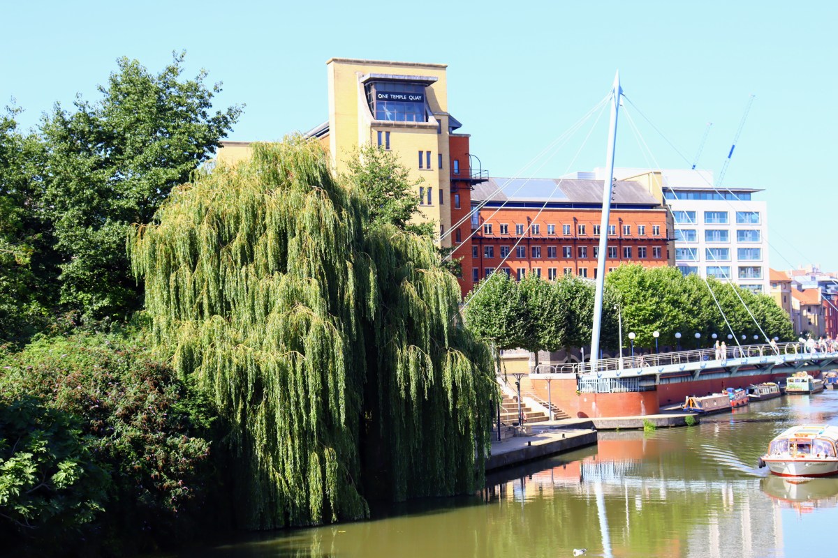
The Bristol case: a warning from the front line
Bristol offers a stark illustration of what’s at stake. While our FOI research was under way, Bristol City Council, at the request of the examining inspectors, was removing all Local Green Space designations from its emerging local plan. Its current plan had included policy GI1, designating LGS sites identified through years of community consultation involving residents, community groups and the Bristol Parks Forum (BPF), with a matrix showing how each site met the NPPF criteria.
During examination, the inspectors rejected all proposed LGS designations as ‘not considered to be justified or effective,’ so the Council removed the policy entirely. BPF objects, pointing out that 14 sites met all five NPPF criteria and a further 27 met four, yet the Inspector rejected all designations en masse without considering the individual merits of each proposed site. BPF describe this as ‘a real disservice to the people of Bristol.’
The Council argues Bristol’s green spaces will still be protected through ‘Reserved Open Spaces’ (now call ‘Protected Open Space’ (POS)) status, but both we and BPF reject this as inadequate. POS does not carry the same weight or permanence as LGS. Other cited designations, such as Site of Nature Conservation Interest (SNCI) status, will offer weakened protection in the new proposed local plan. BPF cites Brislington Meadows as an example of a site that lost out despite its status as an SNCI. BPF says:
The only robust long-term protection for our locally important green spaces against development is to give a site Local Green Space designation. For a city like Bristol to have none is unbelievable.
Notably, Bristol’s FOI response makes no mention of this removal, instead stating that under the new system introduced by the new Levelling Up and Regeneration Act 2023 (LURA), it has ‘not yet decided’ whether its new local plan will designate LGS sites.
Both we and BPF are calling for the LGS policy and the proposed designations to be reinstated until a future local plan can provide equivalent or better protection, warning that any gap between local plans will leave green spaces exposed to development with no adequate defence.
LURA: a planning system in transition
Under LURA, there’s a transition deadline: plans submitted under the old system must be published by 31 December 2026. Authorities that fail to do this must use LURA’s streamlined 30-month timetable instead — roughly half the current time required.
This is, in principle, an opportunity: many councils currently without LGS policies are operating under plans that predate the NPPF, and the obligation to produce a new plan forces the issue. But the compressed timetable, reduced consultation, and a shift of generic policies to national level all create conditions in which LGS designation could be marginalised or skipped. The Bristol example, where the Inspectors rejected all proposed LGS designations en masse, demonstrates this.
The role of Neighbourhood Plans
Local Green Space designation has often been left to Neighbourhood Plans rather than local plans. Bristol, Plymouth, Torridge, Torbay, Rugby, Solihull and Newcastle-under-Lyme all have made Neighbourhood Plans designating LGS, even where their local plan does not. These designations carry real weight, but Neighbourhood Plans require significant community time and resource. Relying on them risks a two-tier system where well-resourced communities can protect their green spaces but those with fewer resources cannot.
Why these issues matter
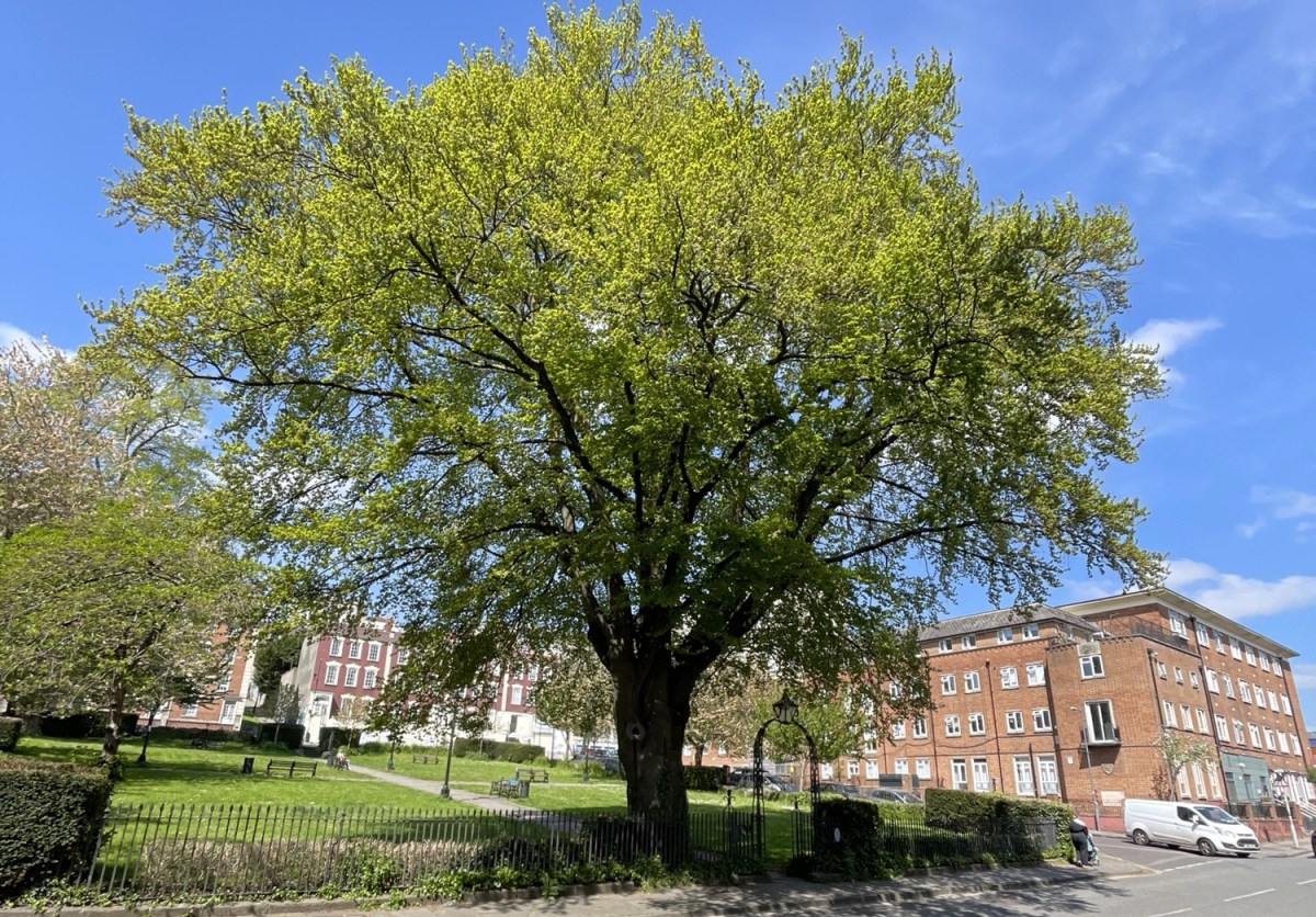
Bristol is a symptom of a wider problem. Access to good-quality green space improves mental and physical health, supports biodiversity, helps manage flood risk, and strengthens community cohesion. In cities like Bristol — which declared an Ecological Emergency in 2019 and is involved in nature recovery initiatives — densification without adequate green space protection directly contradicts those commitments. When councils fail to use the tools available, a community may find itself powerless to save a local green space, sometimes valued for generations, once a development application arrives.
What needs to change
Councils preparing new local plans should treat LGS designation as a core part of the process, not an optional extra, and should engage residents early on which spaces matter most. The Planning Inspectorate should also assess LGS proposals on their individual merits rather than rejecting them wholesale, as happened in Bristol. Councils currently reviewing plans that predate the NPPF have a clear opportunity to put this right.
What you can do
- Get involved in your local plan consultation and make the case for LGS designation — and if your council is proposing to remove or weaken protections, say so clearly.
- Ask your councillors whether your local plan protects local green spaces and what they’re doing about it.
- Explore Neighbourhood Planning, which gives communities the power to designate LGS directly and may, in some cases, come with government funding.
- Engage with council open-space strategies and green infrastructure reviews to help build the evidence base for future designations.
- Support your local parks forum: organisations like the Bristol Parks Forum hold councils to account and amplify community voices. If your area doesn’t have one, consider helping to start one.
The places where we walk, play, breathe and connect with each other and with nature are worth fighting for — but only if we use the planning system’s tools, hold councils to account, and make sure that our communities are genuinely heard.
Speaking up for Bristol
The last opportunity for us to comment on Bristol’s proposed local plan has now passed, so all we can now do is hope that the Inspectors change their minds and reverse their decision to revoke all proposed LGS designations.
In any event, the Council assures us that it will publish its timetable for a further new local plan, as required under the new LURCA regime, by the end of June. When it does, we must insist that it reinstates its original ambition to adopt an LGS policy and designate LGS sites.
A copy of this article is available here: Losing our Local Green Space designation – 16 June 2026
Here are Bristol Parks Forum’s representations: Bristol Parks Forum response to Bristol Local Plan EXA064: Schedule of main modifications 11 June 2026